RADAR-FIRST OCEAN SENSING.

Work with the Ocean.

Sea4D: Active AI Awareness for the Ocean. One multifunction unit deploys to vessel, infrastructure or task equipment.

Sensor fusion led by imaging radar gives Ocean industries foresight: it measures the sea state, detects every contact and maintains position integrity when GNSS (GPS) is denied, for safer, more efficient and compliant marine operations.

Built for Ocean Energy, Ocean Infrastructure, Global Shipping and Defence & Security.

Scroll
01 · The Challenge

Demand on the Ocean has never been higher.

The Ocean is our greatest ally in the climate fight, absorbing around a quarter of the carbon we emit and 90% of the planet's excess heat.
The more we ask of it, the more it matters how we work on it.
02 · The Race for Ocean Space

Every Ocean industry is expanding to meet it.

Ocean industries move over 80% of world trade and generate the energy the planet needs.
Denser traffic, mandated decarbonisation, crew shortages, autonomous operations and GNSS interference ask more of every decision made at sea.
To keep delivering, they need to Work with the Ocean.
$3 trillion market, 40 million jobs, by 2030. OECD.
Demand for ocean space grows nine-fold by 2050. DNV.
03 · The Problem

Every vessel class and every offshore infrastructure project is missing the same three measurements: the sea state ahead, every contact in its close operational domain, and position integrity.
Conventional radar, cameras and AIS cannot provide them:
SEA STATE
Forecast rather than measured. The uncertainty carries into every downstream decision.
WORKABILITY
Decided on forecast margins.
0%
of working days lost to forecast calls
ORE Catapult and University of Strathclyde.
EFFICIENCY
Routed and trimmed without measurement.
£0k
wasted per vessel per year
DNV Energy Efficiency Measures, 2025.
COLLISION RISK
Managed by visual and radar watchkeeping.
0%
of near-misses involve undetected targets
NorthStandard P&I Club, 2024.
POSITION INTEGRITY
Reliant on continuous GNSS.
0
vessels GPS-jammed in one quarter
Windward.
Resolving them with measurement makes work safer, reduces cost, strengthens operations and improves efficiency, with the evidence to meet regulation and consents.
Sea4D
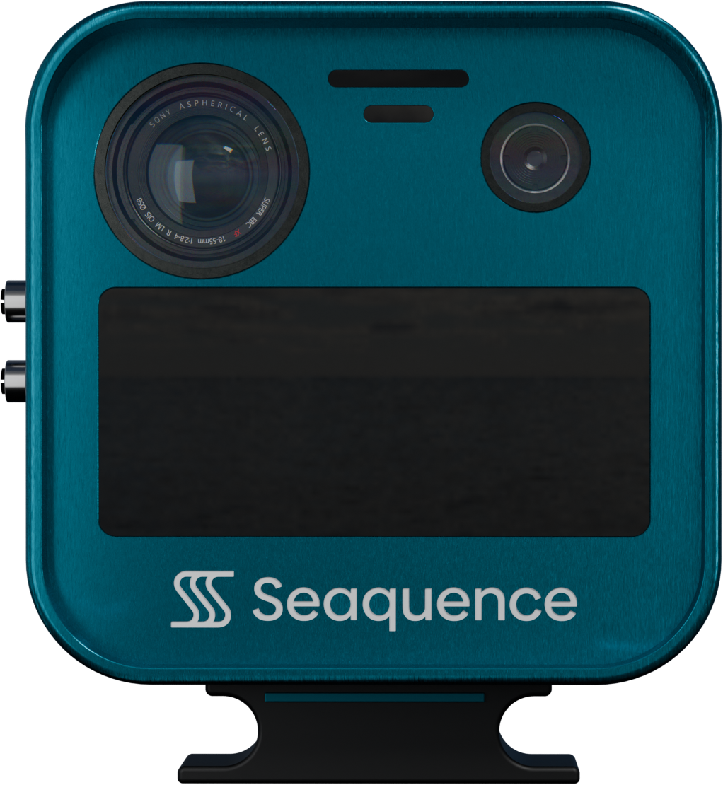
Sea4D unit, front view

Sea4D. One Platform to Work with the Ocean.
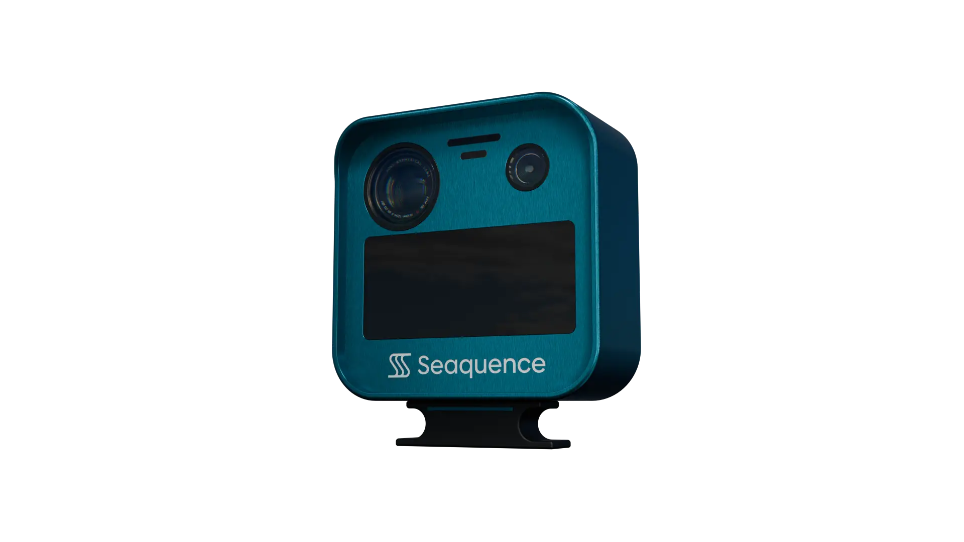
Active AI awareness on the unit, with every output produced in real time.
WAVE FIELD
Directional wave field.
Processed on the unit at 10 Hz from one 77 GHz radar.
Enables operational windows, wave-aware routing, and fuel savings.
Images the sea surface in 4 cm detail, 200 times finer than conventional marine radar.
GNSS-DENIED NAV
Position integrity when GNSS is denied.
Edge radar-odometry, 10 Hz cross-check.
Enables continuous navigation through jamming, spoofing, and signal loss.
Spoofing caught in seconds, not scans. 25 times faster than conventional rotating radar.
WORKABILITY
Relative motion at the transfer point.
AI predicts 1-30 seconds ahead from live sea state.
Enables uptime, fewer cancellations, and audit-ready warranty records.
A world-first traffic-light go/no-go drawn from measured sea state.
OPTIMAL CTS
AI route optimisation against live wave fields.
Forecast corrected in real time.
Enables 2-5% fuel saved per voyage, from a 7-13.5% waste pool (DNV 2025), lower emissions, and IMO CII compliance.
Course corrected against measured sea state, not forecast alone.
AI OBJECT ID
Radar-first sensor fusion.
Physics rejects 80-95% of sea clutter; AI classifies; cameras confirm.
Enables all-weather detection through fog, spray, darkness.
Physics filters clutter before AI sees it, the inverse of automotive sensing.
The Demand
More infrastructure stands in the ocean than at any point in history, and demand for ocean space grows nine-fold by 2050 (DNV). Mandated decarbonisation and crew shortage in shipping, tightening consents and the levelised cost of energy in offshore wind and infrastructure, and the arrival of autonomy across all of them now resolve to the same five demands for every Ocean industry.

We built the SCORE framework to make sure Sea4D answers them:

S
SAFETY
Better perception makes work safer. Collisions, allisions and man overboard are seen in time to act, in fog, spray and darkness.
C
COST
Fewer incidents, less downtime and lower fuel burn take cost out across the whole operation.
O
OPERATIONS
Sea state measured at the point of work strengthens operations, recovering workable days and raising utilisation.
R
REGULATION
Continuous monitoring produces audit-ready evidence for regulation and consents: carbon intensity (CII), resilient positioning (IMO PNT) and collision/allision risk.
E
EFFICIENCY
Voyage routing and vessel trim optimised on measured sea state recover 2-5% of fuel per voyage, from the 7-13.5% that forecast-only routing wastes.

Every Sea4D capability earns its place against all five before we build it, and proves itself in service.

Technology

Sea4D Technology Built to Work with the Ocean.
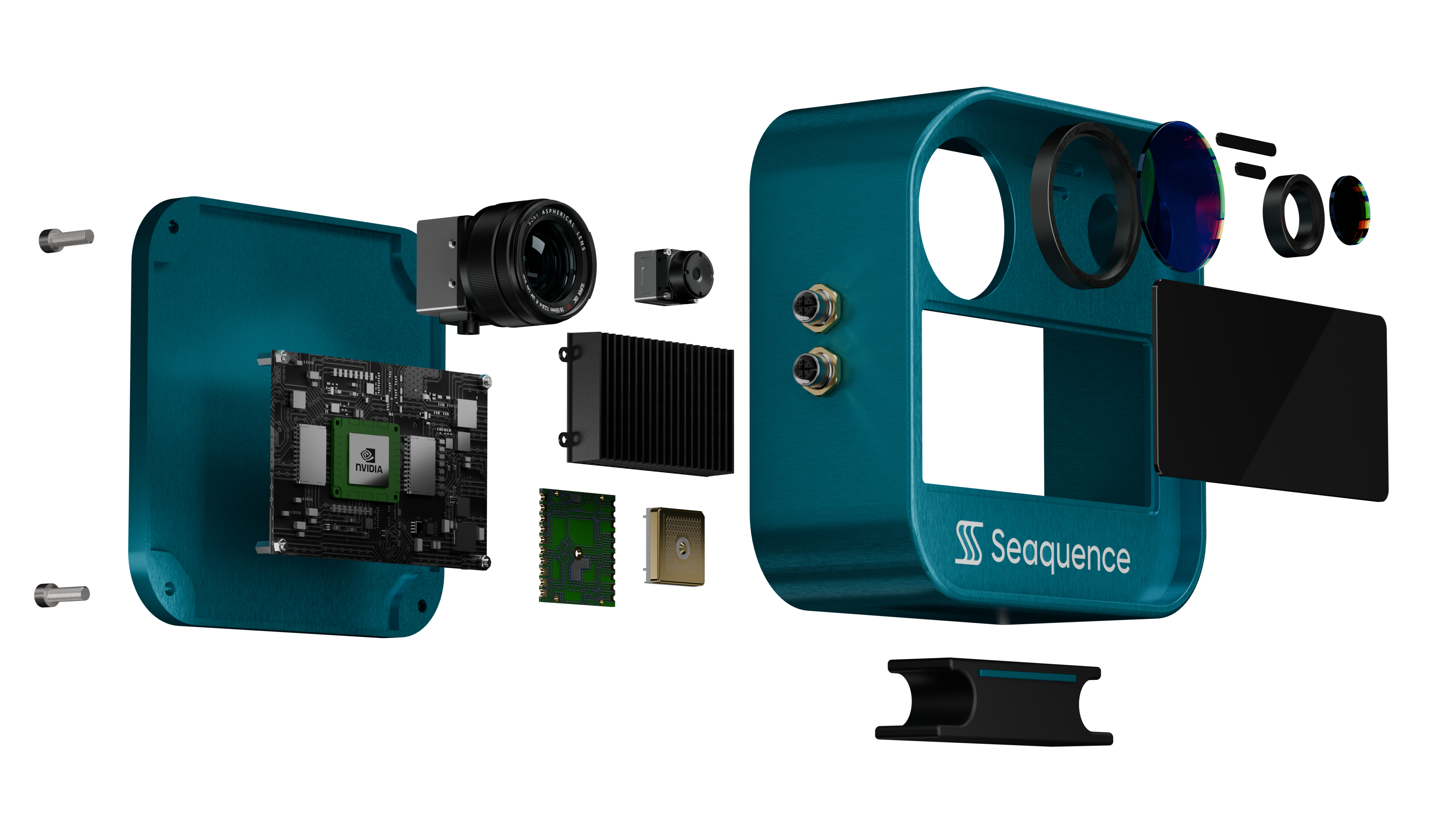
Sea4D exploded view
Radar
4 cm
Range resolution at 77 GHz.
200 times finer than conventional marine radar.
Edge AI
100 trillion
Operations a second, under 65 W.
All compute on the unit.
Physics-First AI
80–95%
Sea clutter rejected by physics before AI classifies.
Deterministic physics, no training data.
Processing
under 100 ms
Sense-to-output latency.
At 10 Hz.
Forward Forecast
40+ knots
Wave field forecast holds at vessel speeds beyond 40 knots.
Sub-100 ms on-unit latency.
Operating Interface
Foresight
Measured sea state ahead, rendered live: go and no-go at the point of work, with a countdown to the next workable window.
Perception, sea state, position and evidence in one picture.
WHY A GPU

A conventional marine radar applies threshold detection to the echo return and displays the result; the signal is processed no further. Sea4D applies a physics filter and AI classification to every cell of the radar return, in parallel, at 10 Hz. That workload runs only on a GPU.

THE RETURN AS AN IMAGE

The radar return is processed as a complete image of the sea surface rather than a set of discrete echoes. Machine learning extracts structure that threshold detection cannot: the directional wave field. Because the wave field is measured, it can be subtracted from the contact picture, and small targets are detected inside sea clutter, where conventional radar cannot separate them.

Learns in service

Perception models are trained on Seaquence's growing maritime dataset and deployed to the installed fleet in software. Every unit is designed to improve through its service life; a conventional scanner's performance is fixed at manufacture.

Capability by software

Wave field measurement, contact detection and GNSS integrity monitoring run as software on the same on-board computer; the GPU carries them with headroom to spare.

Modular by design

New capability arrives as a software update: task-specific detection models deploy to the same unit, from a protected-species watch on a wind farm to a defined object class on a defence tasking.

The result is the wave field, the contact picture and GNSS integrity from one unit, in under 100 ms.

Detection Range

Detection ranges hold in every condition.

Projected production-unit figures, from engineering research on the purpose-designed maritime antenna. Mounted on a vessel or on a structure, one Sea4D unit detects:

Target
Radar Detection Range
Fixed structure, platform or turbine
to horizon, 10 km plus
Large vessel, over 50 metres
5 to 8 km
Workboat
3 to 5 km
Small craft or RIB
1.5 to 3 km
Person in the water
0.5 to 1 km
Wave field, measured around the unit
600 to 900 m, scaling with mounting height

Cameras fail in fog, spray and darkness, and AIS shows only vessels that choose to transmit. Sea4D holds these detection ranges in every condition. A 500 m safety zone sits entirely within a single unit's detection ranges.

Radar leads, AI identifies every track and the camera confirms.

Sea4D does not replace SOLAS radar. It does what camera aids cannot.

In Operation

Sea4D: one platform for all vessels and Ocean infrastructure.
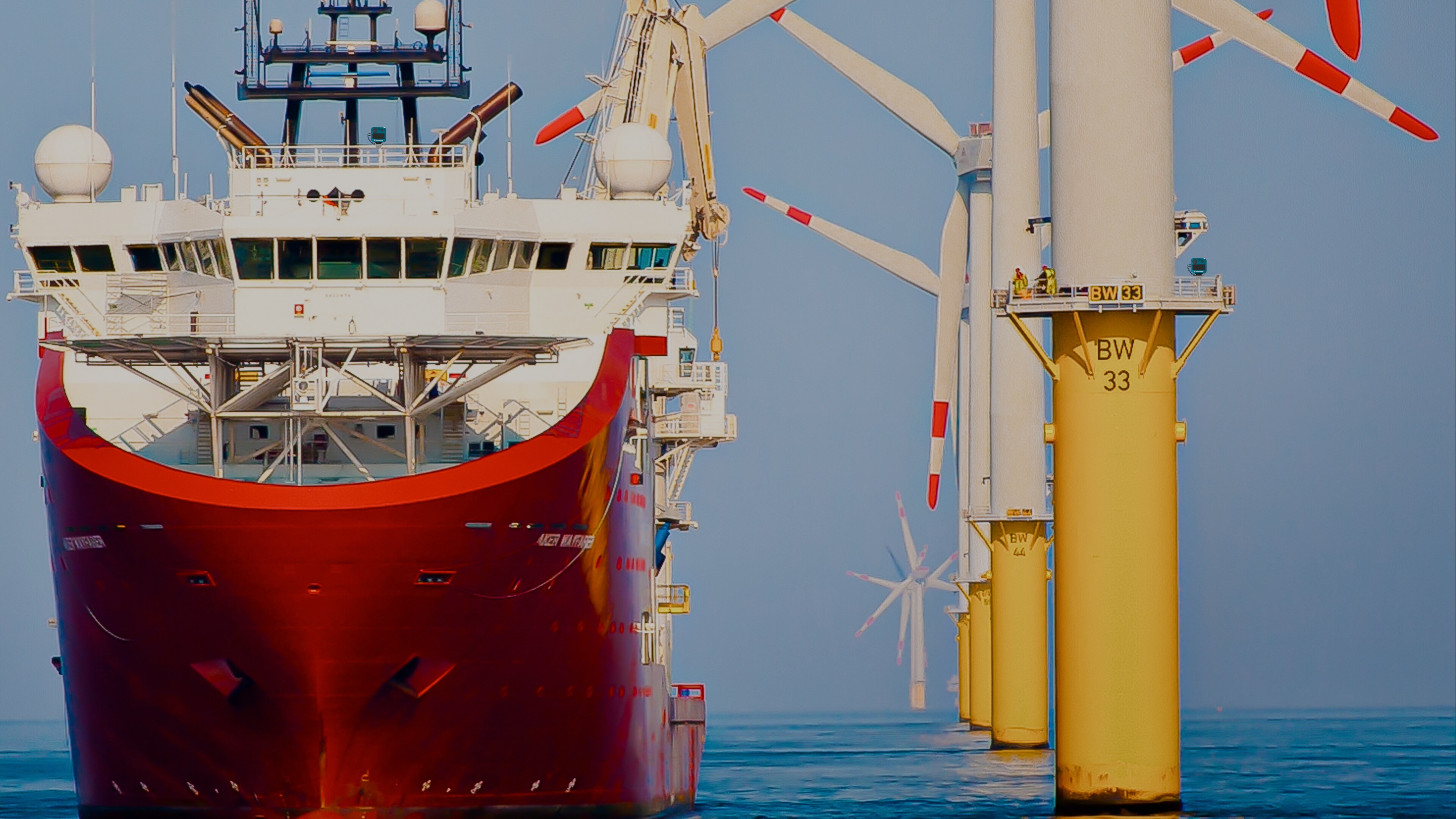
One unit: radar, thermal, GNSS, IMU and AIS, fused into a single picture.
DP vessel operating beside an offshore wind turbine
01
03
02
01
ON THE VESSEL
VESSEL MOUNT
HAZARDS
Ships, small craft and persons in the water
IDENTIFY
AI classification of every track
POSITION
GNSS denial caught in seconds, navigation continues
Outputs: Foresight · Optimal CTS · 4D forecast
02
TASK SPECIFIC ACTIVITIES
TASK MOUNT
TASKS
MOB watch · Transfers · Lifts · DP · Subsea activities
MEASURES
Sea state at the point of work
MOBILISE
Hours to fit, under 65 W, any orientation
Outputs: Detection · Go or no-go · Evidence log
03
ON THE STRUCTURE
STRUCTURE MOUNT
WATCH
Approaches, zones, every movement, 24/7
MEASURE
Sea state at the asset, not the forecast
STANDARDS
IEC 61400-3 · IMCA · MASS
Outputs: Workability · Transfer windows · Evidence log
Sectors

Built for every Ocean industry.

Ocean Energy
A 300+ GW offshore wind pipeline to 2035.
Workability, crew transfer safety and assurance evidence from measured sea state at the point of work.
Supporting crew transfer, service operations, jack-up, walk-to-work and heavy lift operations.
Ocean Infrastructure
1.4 million km of subsea cable.
Corridor monitoring, safety-zone collision risk and the MGN 654 evidence record from one unit.
Supporting cable corridors, ports and harbours, interconnectors and platforms.
Global Shipping
100,000+ vessels worldwide.
All-weather contact detection, GNSS resilience and voyage efficiency with auditable CII evidence.
Supporting port operations, voyage efficiency, CII evidence and autonomous watchkeeping.
Defence & Security
32 NATO nations.
Threat classification, GNSS-denied PNT and a persistent watch in contested waters.
Supporting USV autonomy, contested-waters navigation, force protection, search and rescue.
One platform for every Ocean industry.
Autonomy & New Propulsion

Enabling what comes next.

The wave-ahead perception layer beneath autonomous, foiling and alternatively powered vessels.
01
AUTONOMOUS SHIPPING
The IMO MASS Code asks for redundant, auditable perception, and cameras fail exactly where an uncrewed vessel is alone. Sea4D provides primary detect and avoid in any visibility, maintains position integrity when GNSS is denied and logs every decision as certification evidence.
02
FOILING AND HIGH-SPEED CRAFT
Foil-borne flight above 30 knots has no margin for waves it cannot see. Sea4D feeds flight control a measured wave field around 200 metres ahead, ten times a second, so the craft trims for the oncoming wave.
03
NEW PROPULSION
Electric, hybrid and wind-assisted vessels cannot afford a wasted kilowatt. Voyage routing and trim optimised on measured sea state extend range and reduce emissions on every voyage, evidenced for class and charterer.
Next Step

Get in touch.

Book a 30-minute brief, register for updates, or tell us how you want to be involved: as a customer, an investor or part of the team.
We will only use your details to respond and to send occasional Seaquence updates.